The site
Site location - Click to expand
Planning context
This site is included as an allocation (Reference: CD10) in the emerging North West Leicestershire District Council (NWLDC) Local Plan and is expected to deliver a significant proportion of the proposed development for Castle Donington. The emerging Plan is due to be submitted for independent examination later this year.
As part of the overarching spatial strategy for NWLDC, the Local Plan sets out areas for residential and employment growth to support the development of sustainable and well connected communities across northwest Leicestershire. Within this framework, the Plan identifies Castle Donington as a Key Service Centre, recognising its potential to grow as a vibrant and sustainable centre that meets the needs of both its residents and surrounding communities. This mixed-use allocation, with residential, employment and education uses alongside supporting infrastructure and landscaping, is intended to contribute to the delivery of the emerging Local Plan’s wider spatial strategy.
Site context
The site comprises of two parcels of land located to the north and south of Park Lane, to the west of Castle Donington. It lies alongside the Castle Donington Relief Road to the east of the site, which has convenient connections to the A50 and M1, placing it within the heart of the nation’s strategic road networks. It also connects to roads leading to the centre of Castle Donington.
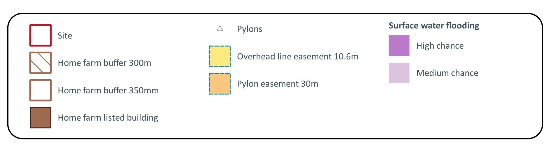
Constraints and Opportunities
In preparing the application for this site, environmental constraints such as flood risk, the presence of pylons on site, the undulating nature of the site’s typography and nearby listed buildings have all been taken into consideration. This is to ensure that the development protects important assets whilst making the most effective use of land, in accordance with national planning policy.
Key Considerations of Existing Assets Plan - Click to expand